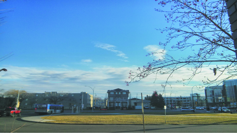
We are now in the middle of November with still no snow. We have seen some snowfall here and there but none that has stuck to the ground (due to warm surface temperatures).
Do you remember the wind chill? Wind chill factor takes the actual outside temperature and combines it with the wind speed. At this time of year, the wind chill can become an issue. Cars and objects cannot feel a wind chill. Only people can feel wind chill. Whether you are waiting at the bus stop outside of NAIT or biking to school, you may have encountered a cold wind blowing against your face. This cold feeling is the wind chill. It is a “feels like” temperature when you combine the wind and temperature. For example, a wind speed of 20 kmh and a temperature of minus 10 C creates a wind chill in the mid to high minus teens. We do not factor in a wind chill if the wind is 10 kmh or lower. This is because wind does not make much of an effect when it is 10 kmh or lower. It is just not noticeable.
When will we see our first minus 10 C temperatures? We have been seeing fairly mild morning lows lately and our seasonal low is near minus 10 C. We should be seeing morning temperatures around minus 10 C this week along with possible minus digit highs! The average high is now slightly below 0 C.
Remember back to the start of this week … heading into your first day of your school week back to NAIT. The wind was blustery! Earlier this past weekend we saw a warm front push up from the south. This brought precipitation to parts of the province. Also we saw a breeze out of the southeast in advance of the warm front. By the time we reached Monday morning, the wind had picked up out of the northwest behind a huge cold front dragging down from the north and you definitely needed a warm jacket, scarf and winter gloves! Moving forward, we should be seeing a lighter wind today (Thursday) but by the weekend, winds look to pick up again. With this southwest breeze comes a warmer temperature above 0 C for Saturday. That is above the average. We also could see an isolated flurry embedded as well. The cold front will go through by Sunday and temperatures should fall back below 0 C for the start of next week as an Arctic high moves down. You will need to pack gloves next week as you head to school.
Did you know?
What is an Arctic high and a Pacific low? An Arctic high pressure system drops down bitterly cold air from the north (Arctic). With it is a light wind and clear skies. Winds rotate clockwise around the centre of the high. This brings our coldest temperatures in the winter. However, there are also a few warmer days in the winter, as a result of a Pacific low. Yes, it comes in from the southwest Pacific shoving a huge warm front up into our region. This can boost our temperatures significantly in the wintertime. Now you know!
Brandon Hess
Meteorologist in training


